Highway conditions · Caltrans + NWS
Is Tehachapi Pass (SR-58) open right now?
Live SR-58 conditions over Tehachapi Pass (elevation 4,067 ft) — the mountain alternative to the Grapevine — plus live wind, the NWS forecast, and Kern alerts.
As of Sunday, October 11th, 2026 at 01:14 PM, SR-58 through Tehachapi Pass is clear of reported problems. Caltrans reports no closures or restrictions on Tehachapi Pass itself. Elsewhere on SR-58, Caltrans reports restrictions in Kern Co — not on the pass.
Showing Caltrans’ condition text: Westbound traffic is reduced to 1 lane 14 mi west of the Jct of SR-14 (Kern Co) - Due to an overturned semi
SR-58 · Tehachapi Pass
No problems reported
Caltrans reports no closures or restrictions on Tehachapi Pass itself. Elsewhere on SR-58, Caltrans reports restrictions in Kern Co — not on the pass. (Caltrans condition text below)
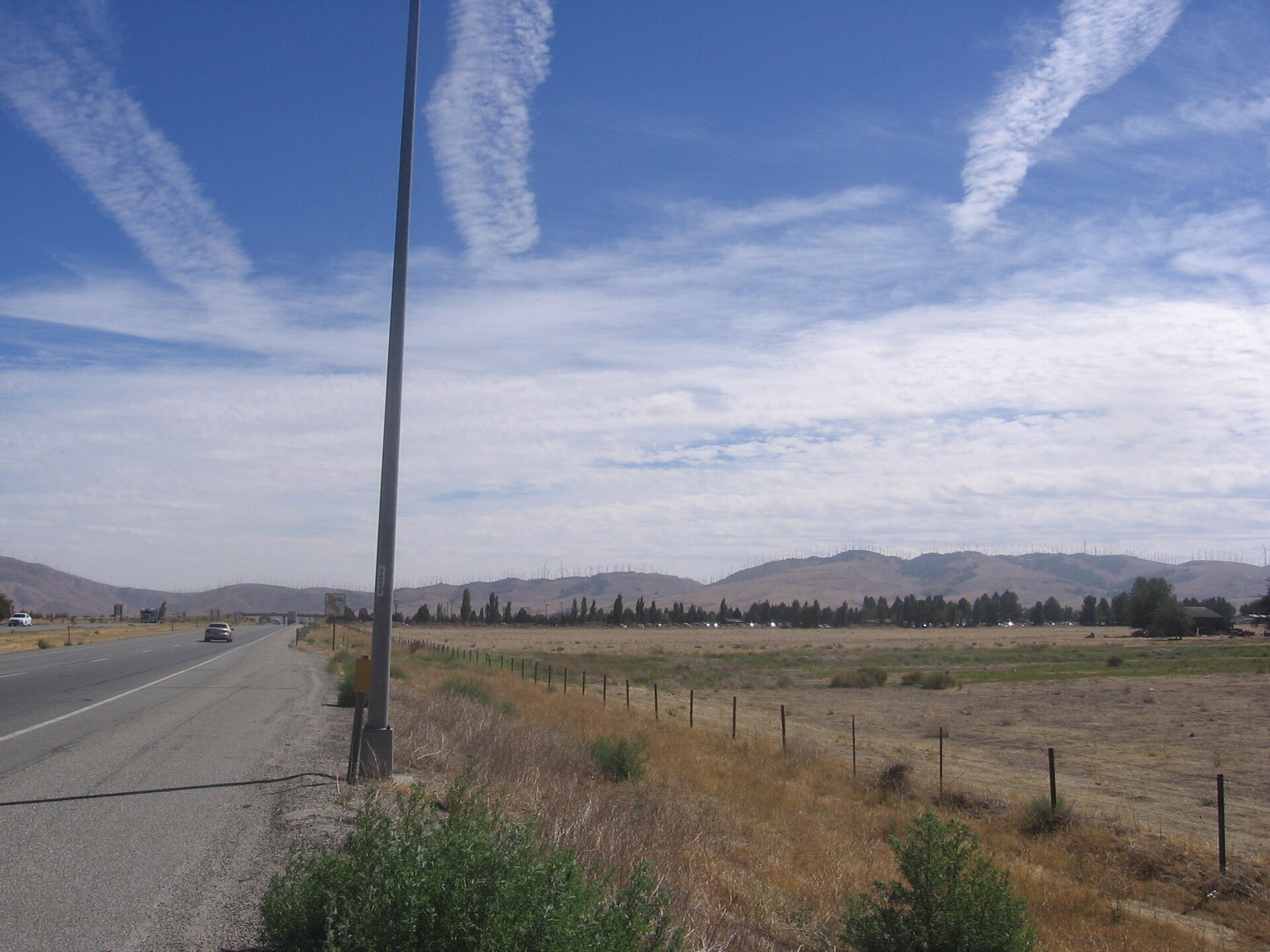

Current conditions at the pass
66°F temp
Source: NWS station KTSP (Tehachapi), observed Oct 11, 12:35 PM.
Forecast
| Period | Hi/Lo | Wind | Forecast |
|---|---|---|---|
| This Afternoon | 65° | 15 mph SW | Sunny |
| Tonight | 39° | 5 to 15 mph SSW | Mostly Clear |
| Columbus Day | 53° | 0 to 15 mph WSW | Chance Light Rain |
| Monday Night | 35° | 10 mph WNW | Slight Chance Light Rain then Partly Cloudy |
| Tuesday | 58° | 10 mph NW | Sunny |
Source: National Weather Service.
NWS alerts for the pass
No active NWS advisories for the Tehachapi area (CAZ334).
Source: National Weather Service. Zone CAZ334 · weather.gov/hnx
Corridor routes
State Route 58 — Tehachapi
Westbound traffic is reduced to 1 lane 14 mi west of the Jct of SR-14 (Kern Co) - Due to an overturned semi
Interstate 5 — Grapevine (Tejon Pass)
A high wind advisory is in effect from the Jct of SR-126 to the Los Angeles/Kern Co Line - Travel is not recommended for campers, trailers, or permit loads A high wind advisory is…
State Route 99 — Central Valley
Is reopened to northbound traffic 7.8 mi south of the Jct of SR-46 (Kern Co) at 0255 hrs on 10/11/26 A high wind advisory is in effect from the Stanislaus/San Joaquin Co Line to…
If it's closed
- The Grapevine (I-5 / Tejon Pass) — the usual detour; check its live status on the Grapevine page.
- SR-14 / US-395 loop — east around the mountains via Mojave and the Owens Valley; stays open when both passes close.
- Amtrak San Joaquins — the train doesn't care about chain controls; Tehachapi and Bakersfield are on the line.
Live conditions and closures, 24/7: roads.dot.ca.gov or Caltrans at 1-800-427-7623.
Why Tehachapi Pass closes
Tehachapi Pass is the SR-58 crossing of the Tehachapi Mountains (summit about 4,067 feet), the key east-side mountain pass on the Los Angeles–San Joaquin Valley corridor. It closes for two main reasons: snow and ice in winter storms (a few inches can force chain controls or a closure), and high winds that flip high-profile trucks — wind advisories are common here and are a frequent cause of restrictions even when there's no precipitation.
Chain requirements are posted at the base of the grade. When R2 or R3 chain controls are in effect, traction devices are mandatory.
Know before you go
- Elevation: the pass crest is about 4,067 ft — snow at the summit is common even when the valley is dry.
- Chain controls: R2 (chains or traction devices on all vehicles except 4WD/AWD with snow tires) and R3 (chains required on all vehicles) are posted at the base of the grade when winter storms hit.
- See it live: view current Caltrans cameras and traffic on QuickMap — the official free live map of highway conditions, closures, and road cams for SR-58.
Recent changes
| When | Route | Change |
|---|---|---|
| 2026-10-07 7:46 AM | SR-99 in Kern County | CLOSED → OPEN |
| 2026-10-07 3:09 AM | SR-99 in Kern County | OPEN → CLOSED |
| 2026-10-03 | I-5, anywhere in California | updated → RESTRICTIONS |
| 2026-10-03 | I-5, anywhere in California | updated → RESTRICTIONS |
| 2026-10-02 | SR-58, whole route | updated → OPEN |
| 2026-10-02 | I-5, anywhere in California | CLOSED → RESTRICTIONS |
| 2026-10-02 | I-5, anywhere in California | updated → CLOSED |
| 2026-10-01 | I-5, anywhere in California | updated → CLOSED |
| 2026-09-30 | I-5, anywhere in California | updated → CLOSED |
| 2026-09-30 | I-5, anywhere in California | updated → CLOSED |
| 2026-09-29 | I-5, anywhere in California | updated → CLOSED |
| 2026-09-29 | SR-58, whole route | updated → OPEN |
Rows marked “anywhere in California” or “whole route” were logged before October 5, 2026, when this log covered the entire highway. They do not mean the pass itself was closed.
Tehachapi Pass questions
Is Tehachapi Pass open right now?
SR-58 through Tehachapi Pass is clear of reported problems as of Sunday, October 11th, 2026 at 01:14 PM. Caltrans reports no closures or restrictions on Tehachapi Pass itself. Elsewhere on SR-58, Caltrans reports restrictions in Kern Co — not on the pass.
What are the road conditions on Highway 58 through Tehachapi Pass?
SR-58 through Tehachapi Pass is clear of reported problems as of Sunday, October 11th, 2026 at 01:14 PM. Confirm on roads.dot.ca.gov before driving.
How windy is Tehachapi Pass right now?
As of Oct 11, 12:35 PM, the KTSP station did not report a wind speed.
How do I check SR-58 Tehachapi Pass conditions?
Call Caltrans at 1-800-427-7623 or visit roads.dot.ca.gov. This page also checks Caltrans in real time when you load it and refreshes every 60 seconds while it's open.
Why does Tehachapi Pass close?
Snow and ice in winter storms, and high winds that tip high-profile vehicles. Caltrans posts chain controls (R2/R3) at the base of the grade.
What is the best alternate route if Tehachapi Pass is closed?
The Grapevine (I-5 / Tejon Pass) is the usual detour — check its status here — or SR-14/US-395 around the east side, which stays open when both passes close.
Road conditions are Caltrans’ text, lightly cleaned for typos and spacing (facts and the agency’s timestamp are unchanged). Caltrans names no problem on the pass corridor; any SR-58 problem elsewhere is listed with its location, not as a claim about the pass. Wind/weather are from the NWS station and forecast; each shows its own timestamp. Always confirm on the official source before driving.